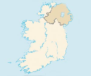
Northern Ireland Maps
Northern Ireland forms the majority of the province of Ulster. It includes the following counties: Antrim, Armagh, Down, Fermanagh, Londonderry and Tyrone. The other three counties which make up the province of Ulster are actually part of the Republic, they are Donegal, Cavan and Monaghan. Northern Ireland is often referred to as the 'Six Counties'. It is one of the four nations which make up the United Kingdom (England, Wales, Scotland and Northern Ireland). Although Northern Ireland has had a troubled past, it is an excellent and extremely safe place to visit with an amazing choice of tourist attractions including The Titanic Experience in Belfast, The mysterious and beautiful Giant's Causeway, Belfast Zoo as well as numerous Castles, Museums, Monuments and Beaches. Northern Ireland is the perfect location for outdoor pursuits such as Cycling, Golf and Walking to name but a few! Northern Ireland is steeped in history and culture and makes a great tourist destination.
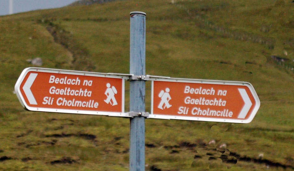
Ireland Maps - Irish Sign
Southern Ireland Maps
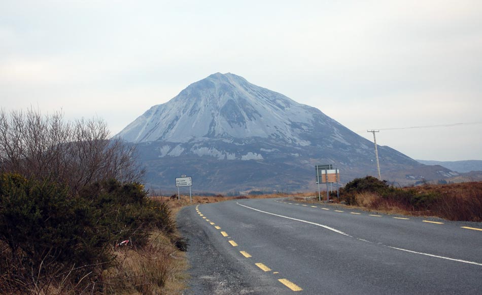
Southern Ireland is also known as the Republic of Ireland or Eire and encompasses five sixths of the Island of Ireland. The provinces of Connaught, Leinster and Munster all contain counties which are part of the Republic. Three of the counties in Ulster also form part of the republic, they are Cavan, Monaghan and Donegal. The Irish language is spoken throughout the Republic and visitors will notice many road signs are in Gaelic and not English despite the English language being spoken by the majority of the people. Road signs in the Republic are usually in Irish and English but some smaller towns will only have the Irish town name listed and this is particular so in Gaeltacht areas (Irish speaking areas). These areas can be found all across the Republic.
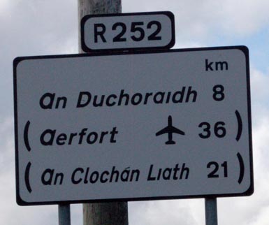
Ireland Maps - Road Sign in the Republic
(Town Names are in Irish and distance is measured in Kilometres)
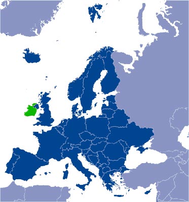
Maps of Northern Ireland and Ireland Maps
We have included a selection of historical maps of both Northern and Southern Ireland including a road map. It is important to remember when driving in Northern Ireland that the road signs and speeds are in Miles and Miles per hour (MPH) as opposed to the Republic where the speeds and signs are in Kilometres and Kilometres per hour (KPH)! Click on the links above to see how the island of Ireland has changed over the centuries. Wars, Conflict and Religious differences have all shaped Ireland into the amazing place it is today. Two very distinct countries, both sharing the same beautiful Island. Whether you visit the Republic or Northern Ireland, the natural beauty of the scenery, from rugged cliffs to deserted beaches will amaze you. The natural charm of its people will make you feel like you never want to leave!
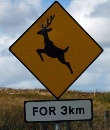
Ireland is full of wildlife including lots of Deer!